
Souk Naamane topographic map
Interactive map
Click on the map to display elevation.
About this map
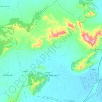
Name: Souk Naamane topographic map, elevation, terrain.
Location: Souk Naamane, Daïra Souk Naâmane, Oum El Bouaghi, Algérie (35.84524 6.30607 36.03396 6.48793)
Average elevation: 905 m
Minimum elevation: 784 m
Maximum elevation: 1,508 m