
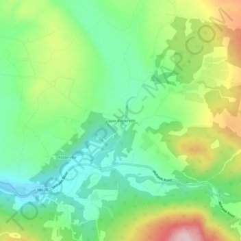
Upper Kidderville topographic map
Interactive map
Click on the map to display elevation.
About this map
Name: Upper Kidderville topographic map, elevation, terrain.
Average elevation: 478 m
Minimum elevation: 379 m
Maximum elevation: 652 m
Other topographic maps
Click on a map to view its topography, its elevation and its terrain.
Kidderville
United States > New Hampshire > Coos County > Colebrook
Kidderville, Colebrook, Coös County, New Hampshire, United States
Average elevation: 472 m