
Manggahan topographic map
Interactive map
Click on the map to display elevation.
About this map
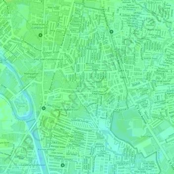
Name: Manggahan topographic map, elevation, terrain.
Average elevation: 11 m
Minimum elevation: 4 m
Maximum elevation: 15 m
Other topographic maps
Click on a map to view its topography, its elevation and its terrain.
Kapitolyo
Kapitolyo, Pasig, Eastern Manila District, Metro Manila, 1603, Philippines
Average elevation: 27 m
San Antonio
San Antonio, Pasig, Eastern Manila District, Metro Manila, 1605, Philippines
Average elevation: 34 m