
韮菜壟 topographic map
Interactive map
Click on the map to display elevation.
About this map
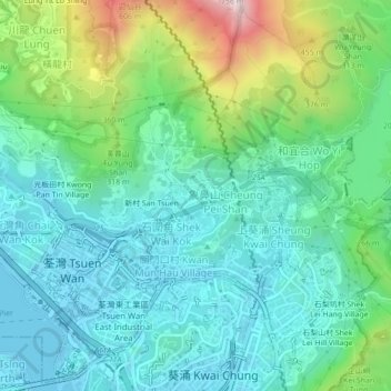
Name: 韮菜壟 topographic map, elevation, terrain.
Location: 韮菜壟, 海壩村, 荃灣區, 新界, 香港, 中国 (22.35915 114.10714 22.39915 114.14714)
Average elevation: 180 m
Minimum elevation: -15 m
Maximum elevation: 728 m