
Thank you for supporting this site ❤️
Make a donation
Make a donation
Bader Memorial Park topographic map
Click on the map to display elevation.
Thank you for supporting this site ❤️
Make a donation
Make a donation
About this map
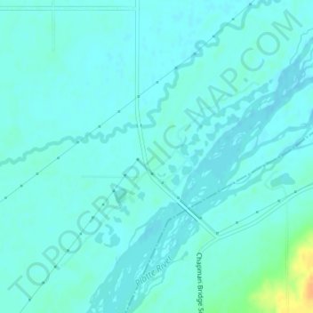
Name: Bader Memorial Park topographic map, elevation, terrain.
Location: Bader Memorial Park, Merrick County, Nebraska, United States (40.98969 -98.14761 40.98979 -98.14751)
Average elevation: 542 m
Minimum elevation: 537 m
Maximum elevation: 568 m
Thank you for supporting this site ❤️
Make a donation
Make a donation