
五里河街道 topographic map
Interactive map
Click on the map to display elevation.
About this map
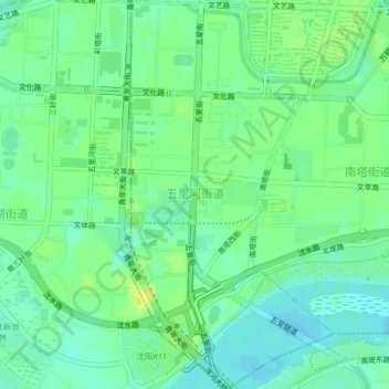
Name: 五里河街道 topographic map, elevation, terrain.
Location: 五里河街道, 沈河区, 辽宁省, 110016, 中国 (41.74592 123.42960 41.77594 123.45059)
Average elevation: 47 m
Minimum elevation: 38 m
Maximum elevation: 60 m
Other topographic maps
Click on a map to view its topography, its elevation and its terrain.