
Thank you for supporting this site ❤️
Make a donation
Make a donation
Clute topographic map
Click on the map to display elevation.
Thank you for supporting this site ❤️
Make a donation
Make a donation
About this map
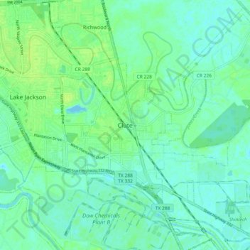
Name: Clute topographic map, elevation, terrain.
Location: Clute, Brazoria County, Texas, 77531, United States (28.98469 -95.43883 29.06469 -95.35883)
Average elevation: 5 m
Minimum elevation: -2 m
Maximum elevation: 11 m
Thank you for supporting this site ❤️
Make a donation
Make a donation