
Thank you for supporting this site ❤️
Make a donation
Make a donation
Cape Coral topographic map
Click on the map to display elevation.
Thank you for supporting this site ❤️
Make a donation
Make a donation
About this map
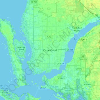
Name: Cape Coral topographic map, elevation, terrain.
Location: Cape Coral, Lee County, Florida, 33914-4648, United States (26.44594 -82.14068 26.76594 -81.82068)
Average elevation: 3 m
Minimum elevation: -2 m
Maximum elevation: 13 m
Thank you for supporting this site ❤️
Make a donation
Make a donation
Other topographic maps
Click on a map to view its topography, its elevation and its terrain.