
Thank you for supporting this site ❤️
Make a donation
Make a donation
Khullod topographic map
Click on the map to display elevation.
Thank you for supporting this site ❤️
Make a donation
Make a donation
About this map
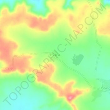
Name: Khullod topographic map, elevation, terrain.
Location: Khullod, Sillod, Aurangabad, Maharashtra, India (20.44761 75.62231 20.48761 75.66231)
Average elevation: 715 m
Minimum elevation: 664 m
Maximum elevation: 775 m
Thank you for supporting this site ❤️
Make a donation
Make a donation