
柴河 topographic map
Interactive map
Click on the map to display elevation.
About this map
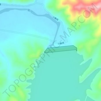
Name: 柴河 topographic map, elevation, terrain.
Location: 柴河, 铁岭县, 铁岭市, 辽宁省, 中国 (42.26500 123.98241 42.26682 123.98355)
Average elevation: 116 m
Minimum elevation: 73 m
Maximum elevation: 294 m
Other topographic maps
Click on a map to view its topography, its elevation and its terrain.