
蘑菇气镇 topographic map
Interactive map
Click on the map to display elevation.
About this map
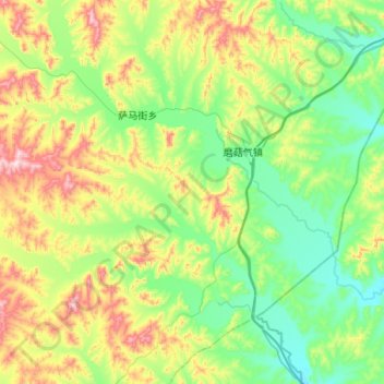
Name: 蘑菇气镇 topographic map, elevation, terrain.
Location: 蘑菇气镇, 扎兰屯市, 呼伦贝尔市, 内蒙古自治区, 中国 (47.28783 122.07788 47.62416 122.60798)
Average elevation: 420 m
Minimum elevation: 270 m
Maximum elevation: 803 m
Other topographic maps
Click on a map to view its topography, its elevation and its terrain.