
Flag topographic map
Interactive map
Click on the map to display elevation.
About this map
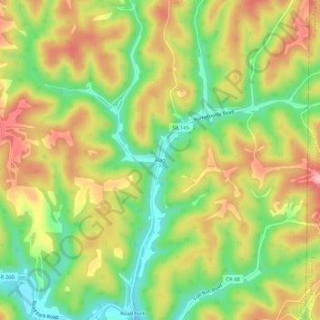
Name: Flag topographic map, elevation, terrain.
Location: Flag, Noble County, Ohio, 45754, USA (39.66646 -81.32484 39.70646 -81.28484)
Average elevation: 278 m
Minimum elevation: 206 m
Maximum elevation: 352 m