
Tleta topographic map
Interactive map
Click on the map to display elevation.
About this map
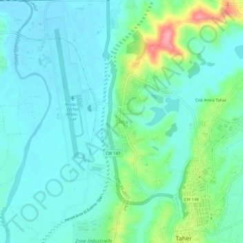
Name: Tleta topographic map, elevation, terrain.
Location: Tleta, Taher, Daïra Taher, Jijel, 18002, Algérie (36.77049 5.86484 36.81049 5.90484)
Average elevation: 24 m
Minimum elevation: -1 m
Maximum elevation: 109 m