
Ettelgem topographic map
Interactive map
Click on the map to display elevation.
About this map
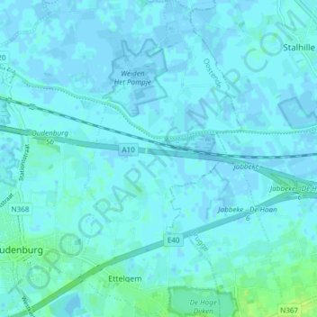
Name: Ettelgem topographic map, elevation, terrain.
Average elevation: 2 m
Minimum elevation: -3 m
Maximum elevation: 12 m
Other topographic maps
Click on a map to view its topography, its elevation and its terrain.
Roksemput
België > Vlaanderen > Oudenburg
Roksemput, Haspeslaghstraat, Roksem, Oudenburg, Oostende, West-Vlaanderen, Vlaanderen, 8460, België
Average elevation: 6 m