
Paita topographic map
Interactive map
Click on the map to display elevation.
About this map
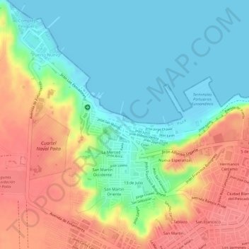
Name: Paita topographic map, elevation, terrain.
Location: Paita, Piura, 20701, Peru (-5.08515 -81.11379 -5.08505 -81.11369)
Average elevation: 33 m
Minimum elevation: -1 m
Maximum elevation: 76 m