
Thank you for supporting this site ❤️
Make a donation
Make a donation
São Facundo topographic map
Click on the map to display elevation.
Thank you for supporting this site ❤️
Make a donation
Make a donation
About this map
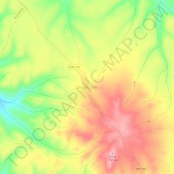
Name: São Facundo topographic map, elevation, terrain.
Location: São Facundo, Abrantes, Santarém, Portugal (39.35534 -8.12446 39.39534 -8.08446)
Average elevation: 185 m
Minimum elevation: 98 m
Maximum elevation: 255 m
Thank you for supporting this site ❤️
Make a donation
Make a donation