Sungai Je'ne' Berang topographic map
Interactive map
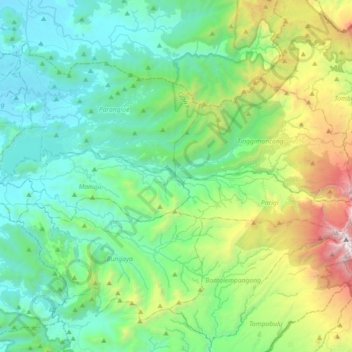
Click on the map to display elevation.
About this map
Name: Sungai Je'ne' Berang topographic map, elevation, terrain.
Average elevation: 645 m
Minimum elevation: 9 m
Maximum elevation: 2,844 m

Click on the map to display elevation.
Name: Sungai Je'ne' Berang topographic map, elevation, terrain.
Average elevation: 645 m
Minimum elevation: 9 m
Maximum elevation: 2,844 m