
Thank you for supporting this site ❤️
Make a donation
Make a donation
Ribes de Freser topographic map
Click on the map to display elevation.
Thank you for supporting this site ❤️
Make a donation
Make a donation
Ribes de Freser
Ribes de Freser is een gemeente in de Spaanse provincie Girona in de regio Catalonië met een oppervlakte van 42 km². In 2007 telde Ribes de Freser 2001 inwoners. Ribes is het onderste eindpunt van de tandradspoorweg van Núria, die toeristen naar het bedevaarts- en ski-oord Vall de Núria op bijna 2000 meter hoogte in de Pyreneeën brengt.
Thank you for supporting this site ❤️
Make a donation
Make a donation
About this map
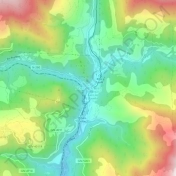
Name: Ribes de Freser topographic map, elevation, terrain.
Location: Ribes de Freser, Ripollès, Gerona, Catalonië, 17534, Spanje (42.28573 2.14782 42.32573 2.18782)
Average elevation: 1,158 m
Minimum elevation: 869 m
Maximum elevation: 1,660 m
Thank you for supporting this site ❤️
Make a donation
Make a donation