
Thank you for supporting this site ❤️
Make a donation
Make a donation
Val Verde topographic map
Click on the map to display elevation.
Thank you for supporting this site ❤️
Make a donation
Make a donation
About this map
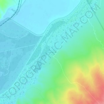
Name: Val Verde topographic map, elevation, terrain.
Location: Val Verde, Socorro County, New Mexico, United States (33.68266 -106.94881 33.72266 -106.90881)
Average elevation: 1,384 m
Minimum elevation: 1,365 m
Maximum elevation: 1,450 m
Thank you for supporting this site ❤️
Make a donation
Make a donation