
Portknockie topographic map
Interactive map
Click on the map to display elevation.
About this map
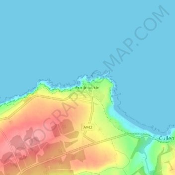
Name: Portknockie topographic map, elevation, terrain.
Location: Portknockie, Moray, Scotland, AB56 4LR, United Kingdom (57.68350 -2.87815 57.72350 -2.83815)
Average elevation: 22 m
Minimum elevation: 0 m
Maximum elevation: 87 m