
Ohey topographic map
Interactive map
Click on the map to display elevation.
About this map
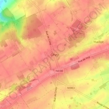
Name: Ohey topographic map, elevation, terrain.
Location: Ohey, Namur, Wallonie, 5350, Belgique (50.41591 5.10384 50.45591 5.14384)
Average elevation: 259 m
Minimum elevation: 191 m
Maximum elevation: 285 m