
Lete topographic map
Interactive map
Click on the map to display elevation.
About this map
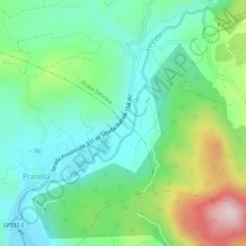
Name: Lete topographic map, elevation, terrain.
Location: Lete, Pratella, Caserta, Campania, Italia (41.39829 14.17513 41.42514 14.20522)
Average elevation: 262 m
Minimum elevation: 139 m
Maximum elevation: 556 m