
Sourgout topographic map
Interactive map
Click on the map to display elevation.
About this map
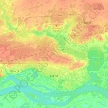
Name: Sourgout topographic map, elevation, terrain.
Location: Sourgout, Khantys-Mansis, District fédéral de l'Oural, Russie (61.22483 73.23552 61.35858 73.68910)
Average elevation: 47 m
Minimum elevation: 23 m
Maximum elevation: 78 m