
Modisi topographic map
Interactive map
Click on the map to display elevation.
About this map
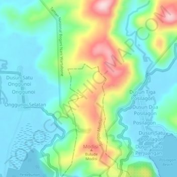
Name: Modisi topographic map, elevation, terrain.
Location: Modisi, North Sulawesi, 95777, Indonesia (0.45691 124.41272 0.49691 124.45272)
Average elevation: 81 m
Minimum elevation: -2 m
Maximum elevation: 286 m
Other topographic maps
Click on a map to view its topography, its elevation and its terrain.