
Zum Gänsberg 1, 64658 Fürth, Deutschland topographic map
Interactive map
Click on the map to display elevation.
About this map
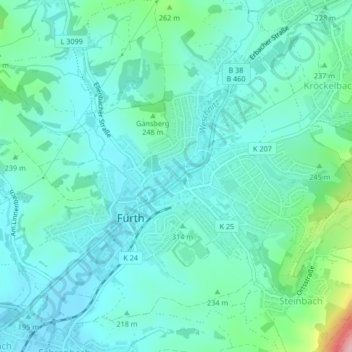
Name: Zum Gänsberg 1, 64658 Fürth, Deutschland topographic map, elevation, terrain.
Average elevation: 221 m
Minimum elevation: 181 m
Maximum elevation: 392 m