
Engenstein topographic map
Interactive map
Click on the map to display elevation.
About this map
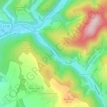
Name: Engenstein topographic map, elevation, terrain.
Average elevation: 529 m
Minimum elevation: 415 m
Maximum elevation: 712 m
Other topographic maps
Click on a map to view its topography, its elevation and its terrain.
Großer Burgberg
Deutschland > Thüringen > Schleusegrund
Großer Burgberg, Schleusegrund, Landkreis Hildburghausen, Thüringen, Deutschland
Average elevation: 740 m
Tanne
Deutschland > Thüringen > Schleusegrund
Tanne, Schleusegrund, Landkreis Hildburghausen, Thüringen, 98667, Deutschland
Average elevation: 687 m