
Arjun Khola topographic map
Click on the map to display elevation.
About this map
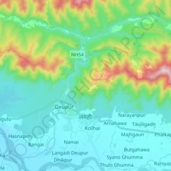
Name: Arjun Khola topographic map, elevation, terrain.
Location: Arjun Khola, Satbariya, Lamahi, Dang, Lumbini Province, Nepal (27.84602 82.47571 27.93971 82.59759)
Average elevation: 385 m
Minimum elevation: 230 m
Maximum elevation: 968 m