
In Ecker topographic map
Interactive map
Click on the map to display elevation.
About this map
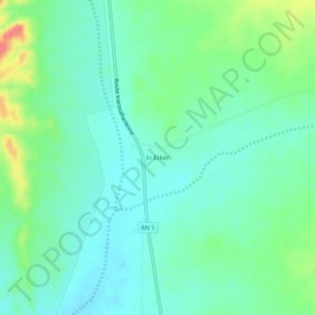
Name: In Ecker topographic map, elevation, terrain.
Location: In Ecker, In Amguel, Daïra de Tamanrasset, Tamanrasset, Algérie (24.00103 5.06396 24.04103 5.10396)
Average elevation: 999 m
Minimum elevation: 981 m
Maximum elevation: 1,043 m
Other topographic maps
Click on a map to view its topography, its elevation and its terrain.
Tesnou
Algérie > Tamanrasset > Daïra de Tamanrasset > In Amguel
Tesnou, In Amguel, Daïra de Tamanrasset, Tamanrasset, Algérie
Average elevation: 907 m