
Jombang topographic map
Interactive map
Click on the map to display elevation.
About this map
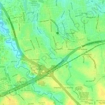
Name: Jombang topographic map, elevation, terrain.
Location: Jombang, Ciputat, Tangerang Selatan, Banten, Indonesien (-6.30568 106.69045 -6.28837 106.71789)
Average elevation: 40 m
Minimum elevation: 25 m
Maximum elevation: 51 m