
Ajil topographic map
Interactive map
Click on the map to display elevation.
About this map
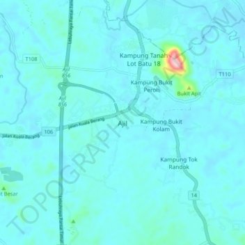
Name: Ajil topographic map, elevation, terrain.
Location: Ajil, Terengganu, 21800, Malaysia (5.03691 103.04319 5.11691 103.12319)
Average elevation: 23 m
Minimum elevation: 2 m
Maximum elevation: 284 m