
Thank you for supporting this site ❤️
Make a donation
Make a donation
Mullen topographic map
Click on the map to display elevation.
Thank you for supporting this site ❤️
Make a donation
Make a donation
About this map
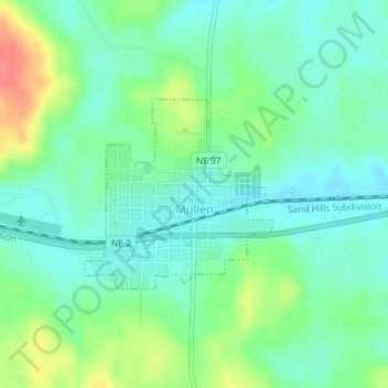
Name: Mullen topographic map, elevation, terrain.
Location: Mullen, Hooker County, Nebraska, United States (42.03737 -101.05281 42.05060 -101.03502)
Average elevation: 993 m
Minimum elevation: 972 m
Maximum elevation: 1,039 m
Thank you for supporting this site ❤️
Make a donation
Make a donation