
Thank you for supporting this site ❤️
Make a donation
Make a donation
Hakkas topographic map
Click on the map to display elevation.
Thank you for supporting this site ❤️
Make a donation
Make a donation
About this map
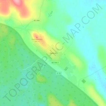
Name: Hakkas topographic map, elevation, terrain.
Location: Hakkas, Gällivare kommun, Norrbotten County, Sweden (66.89646 21.54615 66.93646 21.58615)
Average elevation: 222 m
Minimum elevation: 192 m
Maximum elevation: 306 m
Thank you for supporting this site ❤️
Make a donation
Make a donation
Other topographic maps
Click on a map to view its topography, its elevation and its terrain.