
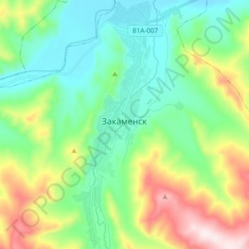
Закаменск topographic map
Interactive map
Click on the map to display elevation.
About this map
Name: Закаменск topographic map, elevation, terrain.
Average elevation: 1,219 m
Minimum elevation: 1,025 m
Maximum elevation: 1,678 m
Other topographic maps
Click on a map to view its topography, its elevation and its terrain.
Закаменск
Russie > Bouriatie > Закаменский район > Закаменск
Закаменск, городское поселение Закаменск, Закаменский район, Bouriatie, District fédéral extrême-oriental, 671950, Russie
Average elevation: 1,212 m