
Os Paces topographic map
Interactive map
Click on the map to display elevation.
About this map
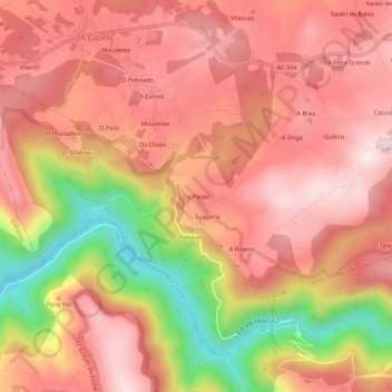
Name: Os Paces topographic map, elevation, terrain.
Location: Os Paces, A Capela, O Eume, A Corogne, Galice, 15613, Espagne (43.39922 -8.07470 43.43922 -8.03470)
Average elevation: 323 m
Minimum elevation: 28 m
Maximum elevation: 476 m