
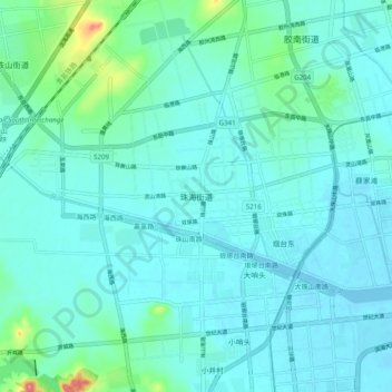
珠海街道 topographic map
Interactive map
Click on the map to display elevation.
About this map
Name: 珠海街道 topographic map, elevation, terrain.
Location: 珠海街道, 青岛市, 山东省, 中国 (35.83468 119.93710 35.91468 120.01710)
Average elevation: 15 m
Minimum elevation: -3 m
Maximum elevation: 107 m
Other topographic maps
Click on a map to view its topography, its elevation and its terrain.