
Thank you for supporting this site ❤️
Make a donation
Make a donation
Schweinfurth topographic map
Click on the map to display elevation.
Thank you for supporting this site ❤️
Make a donation
Make a donation
About this map
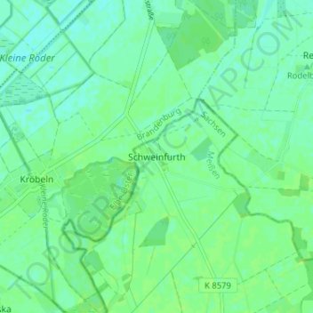
Name: Schweinfurth topographic map, elevation, terrain.
Location: Schweinfurth, Gröditz, Meißen, Sachsen, Deutschland (51.42691 13.37291 51.46691 13.41291)
Average elevation: 92 m
Minimum elevation: 87 m
Maximum elevation: 95 m
Thank you for supporting this site ❤️
Make a donation
Make a donation