
Thank you for supporting this site ❤️
Make a donation
Make a donation
Bani Malik topographic map
Click on the map to display elevation.
Thank you for supporting this site ❤️
Make a donation
Make a donation
About this map
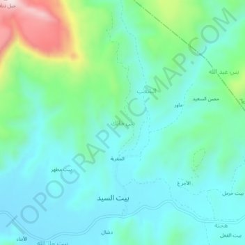
Name: Bani Malik topographic map, elevation, terrain.
Location: Bani Malik, Bani Hoshaish District, Sana'a Governorate, Yemen (15.49667 44.39667 15.53667 44.43667)
Average elevation: 2,389 m
Minimum elevation: 2,268 m
Maximum elevation: 2,806 m
Thank you for supporting this site ❤️
Make a donation
Make a donation
Other topographic maps
Click on a map to view its topography, its elevation and its terrain.