
Thank you for supporting this site ❤️
Make a donation
Make a donation
Radcliffe topographic map
Click on the map to display elevation.
Thank you for supporting this site ❤️
Make a donation
Make a donation
About this map
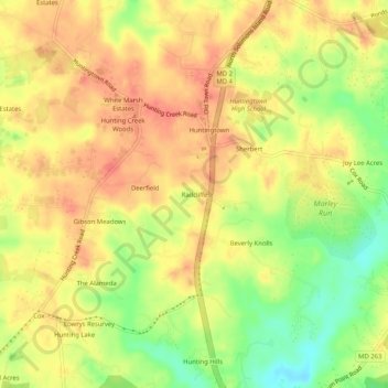
Name: Radcliffe topographic map, elevation, terrain.
Location: Radcliffe, Calvert County, Maryland, 20639, United States (38.58929 -76.63496 38.62929 -76.59496)
Average elevation: 35 m
Minimum elevation: 1 m
Maximum elevation: 55 m
Thank you for supporting this site ❤️
Make a donation
Make a donation