
Djebel Onk topographic map
Interactive map
Click on the map to display elevation.
About this map
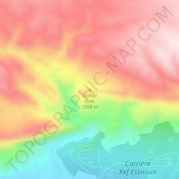
Name: Djebel Onk topographic map, elevation, terrain.
Location: Djebel Onk, Bir El Ater, daïra Bir Elater, Tébessa, Algérie (34.71395 7.95937 34.71405 7.95947)
Average elevation: 972 m
Minimum elevation: 725 m
Maximum elevation: 1,170 m