
Thank you for supporting this site ❤️
Make a donation
Make a donation
龙达 topographic map
Click on the map to display elevation.
Thank you for supporting this site ❤️
Make a donation
Make a donation
About this map
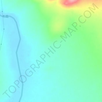
Name: 龙达 topographic map, elevation, terrain.
Location: 龙达, 雁石坪镇, 安多县, 那曲市, 西藏自治区, 中国 (33.38519 91.95340 33.40519 91.97340)
Average elevation: 4,809 m
Minimum elevation: 4,782 m
Maximum elevation: 4,903 m
Thank you for supporting this site ❤️
Make a donation
Make a donation
Other topographic maps
Click on a map to view its topography, its elevation and its terrain.