
太湖 topographic map
Interactive map
Click on the map to display elevation.
About this map
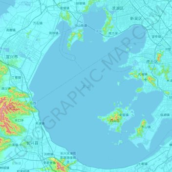
Name: 太湖 topographic map, elevation, terrain.
Location: 太湖, 堂里村, 金庭镇, 吴中区, 苏州市, Jiangsu, 214000, China (30.92630 119.89281 31.54989 120.64140)
Average elevation: 14 m
Minimum elevation: -9 m
Maximum elevation: 494 m