
Thank you for supporting this site ❤️
Make a donation
Make a donation
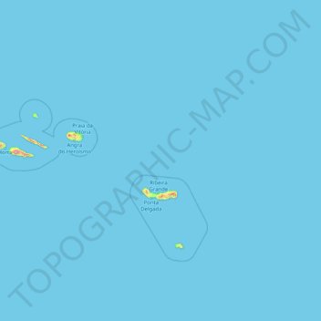
Azores topographic map
Click on the map to display elevation.
Thank you for supporting this site ❤️
Make a donation
Make a donation
Azores
The same can not be said for the higher altitudes (e.g. Mount Pico), where upper air masses of a continental origin and with a more direct pathway can reach the surface and present those areas with drier air and more extreme temperatures. At the same time, this free atmosphere circulating air transports aerosols to the archipelago, namely volcanic ash or fine sands from the Sahara desert, which sporadically affect the radiation and air quality.
Thank you for supporting this site ❤️
Make a donation
Make a donation
About this map
Name: Azores topographic map, elevation, terrain.
Location: Azores, Portugal (36.92763 -31.27563 39.72725 -24.77985)
Average elevation: 2 m
Minimum elevation: 0 m
Maximum elevation: 2,050 m
Thank you for supporting this site ❤️
Make a donation
Make a donation
Other topographic maps
Click on a map to view its topography, its elevation and its terrain.
Thank you for supporting this site ❤️
Make a donation
Make a donation
Thank you for supporting this site ❤️
Make a donation
Make a donation
Thank you for supporting this site ❤️
Make a donation
Make a donation