
Islas Kuriles topographic map
Interactive map
Click on the map to display elevation.
About this map
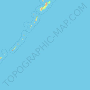
Name: Islas Kuriles topographic map, elevation, terrain.
Average elevation: 2 m
Minimum elevation: 0 m
Maximum elevation: 2,201 m
Other topographic maps
Click on a map to view its topography, its elevation and its terrain.
Yuzhno-Sajalinsk
Rusia > Сахалинская область > Yuzhno-Sajalinsk
Yuzhno-Sajalinsk, городской округ Южно-Сахалинск, Сахалинская область, Distrito federal del Lejano Oriente, Rusia
Average elevation: 204 m