
Casal da Pedreira topographic map
Interactive map
Click on the map to display elevation.
About this map
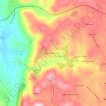
Name: Casal da Pedreira topographic map, elevation, terrain.
Average elevation: 323 m
Minimum elevation: 139 m
Maximum elevation: 457 m
Other topographic maps
Click on a map to view its topography, its elevation and its terrain.
Torrinhas
Portugal > Leiria > Batalha > Reguengo do Fetal
Torrinhas, Reguengo do Fetal, Batalha, Leiria, 2410-503, Portugal
Average elevation: 223 m