
Earl Sterndale topographic map
Interactive map
Click on the map to display elevation.
About this map
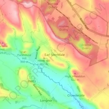
Name: Earl Sterndale topographic map, elevation, terrain.
Average elevation: 345 m
Minimum elevation: 241 m
Maximum elevation: 443 m
Other topographic maps
Click on a map to view its topography, its elevation and its terrain.
Curbar CP
Vereinigtes Königreich > England > Derbyshire > Derbyshire Dales
Curbar CP, Derbyshire Dales, Derbyshire, England, Vereinigtes Königreich
Average elevation: 215 m