
Ogden topographic map
Interactive map
Click on the map to display elevation.
About this map
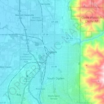
Name: Ogden topographic map, elevation, terrain.
Location: Ogden, Weber County, Utah, États-Unis d'Amérique (41.16011 -112.02557 41.28599 -111.92038)
Average elevation: 1,498 m
Minimum elevation: 1,289 m
Maximum elevation: 2,673 m