
Lusahunga topographic map
Interactive map
Click on the map to display elevation.
About this map
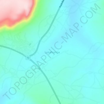
Name: Lusahunga topographic map, elevation, terrain.
Location: Lusahunga, Biharamulo, Kagera, Lake Zone, Tanzania (-2.92738 31.18952 -2.88738 31.22952)
Average elevation: 1,362 m
Minimum elevation: 1,306 m
Maximum elevation: 1,628 m