
Lac-à-la-Croix topographic map
Interactive map
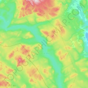
Click on the map to display elevation.
About this map
Name: Lac-à-la-Croix topographic map, elevation, terrain.
Location: Lac-à-la-Croix, La Mitis, Bas-Saint-Laurent, Québec, Canada (48.16436 -67.94318 48.40508 -67.61804)
Average elevation: 399 m
Minimum elevation: 215 m
Maximum elevation: 794 m