
Sultan Kudarat topographic map
Interactive map
Click on the map to display elevation.
About this map
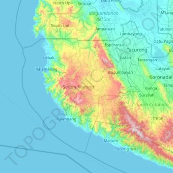
Name: Sultan Kudarat topographic map, elevation, terrain.
Location: Sultan Kudarat, Soccsksargen, Philippines (5.97914 123.88164 6.88295 125.07917)
Average elevation: 243 m
Minimum elevation: -1 m
Maximum elevation: 1,993 m