
Thank you for supporting this site ❤️
Make a donation
Make a donation
Madenler topographic map
Click on the map to display elevation.
Thank you for supporting this site ❤️
Make a donation
Make a donation
About this map
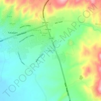
Name: Madenler topographic map, elevation, terrain.
Location: Madenler, Yatağan, Muğla, Aegean Region, 48500, Turkey (37.31442 28.13835 37.35442 28.17835)
Average elevation: 412 m
Minimum elevation: 337 m
Maximum elevation: 549 m
Thank you for supporting this site ❤️
Make a donation
Make a donation